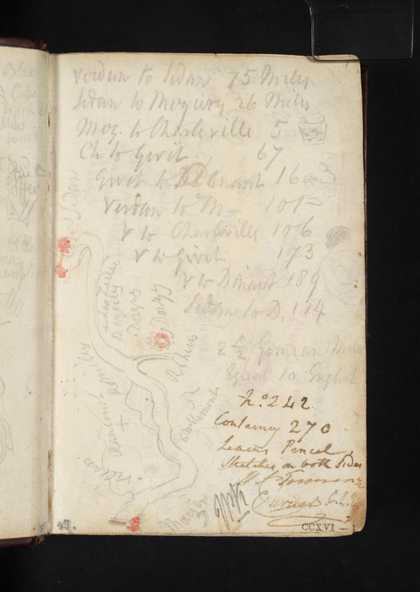
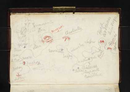
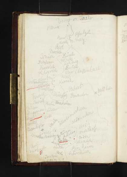
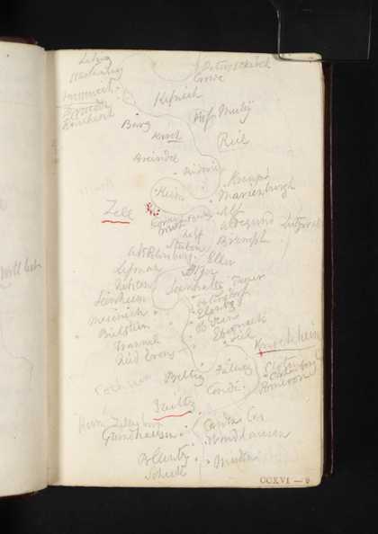
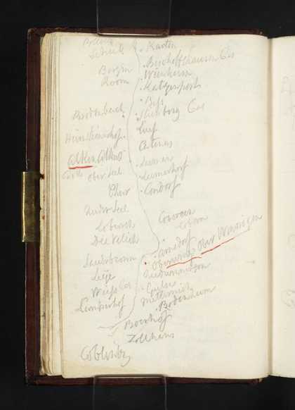
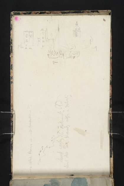
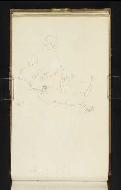
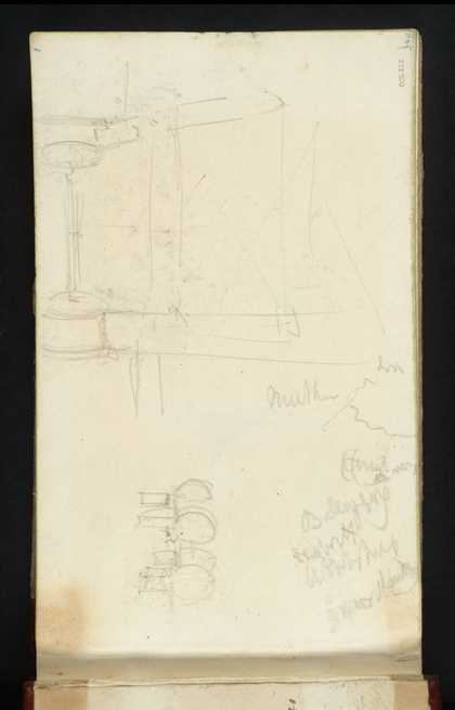
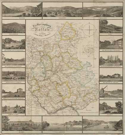
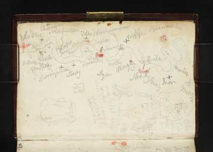
You might like Left Right Sketch Map of the Meuse between Mouzon and Sedan; List of Distances between Northern French and Belgian Towns Joseph Mallord William Turner 1824 Sketch Map of the Meuse between Sedan and Fumay Joseph Mallord William Turner 1824 Sketch Map of Moselle between Trier (Trèves) and Traben-Trarbach Joseph Mallord William Turner 1824 Sketch Map of the Moselle between the Starkenburg and Müden Joseph Mallord William Turner 1824 Sketch Map of the Moselle from Burg Bischofstein to Koblenz Joseph Mallord William Turner 1824 Boats off Portsmouth; a Diagram or Sketch Map Joseph Mallord William Turner 1827 Birmingham from the South-West; with a Sketch map Joseph Mallord William Turner 1830 Diagrams or Sketches of Machinery; and a Sketch Map Joseph Mallord William Turner 1834 Sketch Map of Coast, between Finale and Nice Joseph Mallord William Turner c.1835–40 Turner’s Map of the Duchy of Nassau: Das Herzogthum Nassau, engraved by Friedrich Wimmer Joseph Mallord William Turner c.1830–41 Sketch Map of the Meuse between Verdun and Mouzon; Other Notes and Sketches Joseph Mallord William Turner 1824 Sketch Map of the Coast from Winchelsea to Dover Joseph Mallord William Turner c.1816–18